DTHub theme: Operational digital solutions
| The challenge The Kampala Water (KW) Call Centre receives and handles more than 15,000 incidents each month, both of a technical and commercial nature, reported through telephone calls from customers and by means of social media posts. Target service levels for resolution of reported incidents have been set for the various incident categories. In practice, achieving these targets has always been a challenge, in part due to inefficient mechanisms for tracking job implementation as well as lack of sufficient information management tools to support field operations. |
Pilot summary
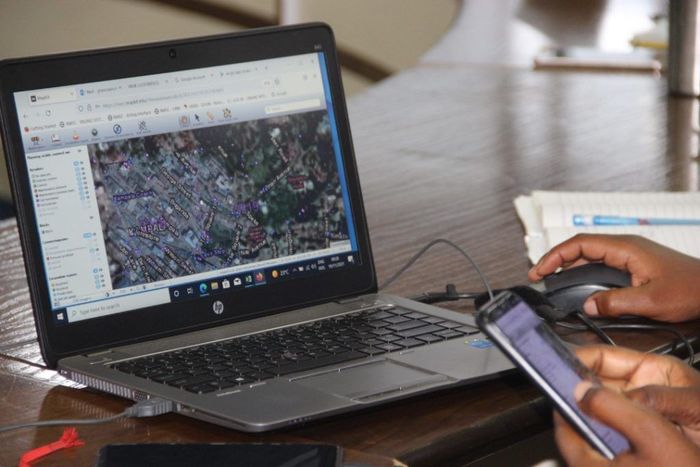
To address this challenge, KW has deployed MapKit, a web GIS application developed by Rolsch Assetmanagement. MapKit supports the reporting and handling of technical incidents (leaks, bursts and water outages) by field teams in real time. Customized to the specific requirements and workflows of KW operations, MapKit has been integrated with KW’s Customer Relationship Module (CRM), a home-grown software solution used by the Call Centre to log, assign and track the resolution of reported incidents.
Year started: 2019
Deployment scale: MapKit has been implemented with support under the Dutch-funded WaterWorX program. Initially piloted within two operational units (Branches), MapKit has since been rolled out to all 28 Branches of Kampala Water. Its application areas have also been expanded from initial use as a field tool for proactive leak search, to supporting a wide range of technical operations, including mapping of new connections and mains extensions, implementing proactive network fixture inspection schedules, investigating water outages and effecting network repairs.
Lessons learned and outcomes
A young, dynamic and vibrant workforce has embraced and fostered the usage of MapKit across KW operations. Additionally, MapKit has been championed by the KW Top Management team, resulting in its rapid adoption and mainstreaming within KW operations. The MapKit developers have continuously been on hand to customize the software to the specific needs of KW, working in close collaboration with the in-house Application Development team.
As a result, there is now a larger incident management footprint, with more staff equipped and empowered to report and handle field anomalies in real time. Besides significantly improving response times to reported incidents through streamlined workflows, the system has also enhanced individual accountability for work done. Furthermore, spatial historical data on network failures is now available for analysis to aid in strategic planning and operational decision-making. There has also been a drastic and dramatic reduction in turnaround time for new connection and mains extension mapping processes, resulting in improvements in the quality and completeness of network GIS datasets, which in turn are now readily accessible for reference to field staff via the MapKit web platform. |  |
End users contacts
Dr. Frank Kizito, frank.kizito@nwsc.co.ug Senior Manager Asset Management, National Water and Sewerage Corporation –Kampala Water. +256 752 916622; www.nwsc.co.ug
Additional contacts:
Martin Nijsse, martin.nijsse@vei.nl, Resident Project Manager, WaterWorX Uganda. +31 629 586662; www.vei.nl
Ronald Laverman, info@rolsch.nl, Consultant and Owner, Rolsch Assetmanagement. +31 622 523762; www.rolsch.nl