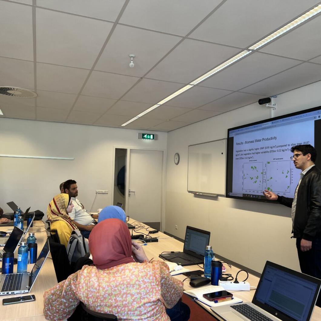
Remote Sensing for Agricultural Water Management
Develop skills to use remote sensing data for estimating high resolution agricultural water use (evapotranspiration) and biomass production for your own area of interest and utilise this data for water productivity and irrigation performance assessment.

IHE Delft Institute for Water Education

IWA members get 40% discount on this course
Starts
Mar 08, 2026
Language
EnglishCertification
Certificate of ParticipationDuration:2 weeks
Course Type
OfflineMember fee: €2,202.00
Standard fee: €3,670.00
Course Description
Develop skills to use remote sensing data for estimating high resolution agricultural water use (evapotranspiration) and biomass production for your own area of interest and utilise this data for water productivity and irrigation performance assessment.
IWA Members can avail a 40% discount on the ConnectPlus platform!
Course Audience
Young and mid-career professionals, engineers and technicians and academics involved in irrigation system management in various government and non-government organizations.
Learning Objectives
Explain the use of remote sensing in assessing water use and biomass production in agriculture.
Apply a remote sensing based approach to estimate high resolution actual evapotranspiration and biomass production.
Conduct irrigation performance assessment at a scheme level using indicators such as water productivity, adequacy, beneficial fraction and equity.